
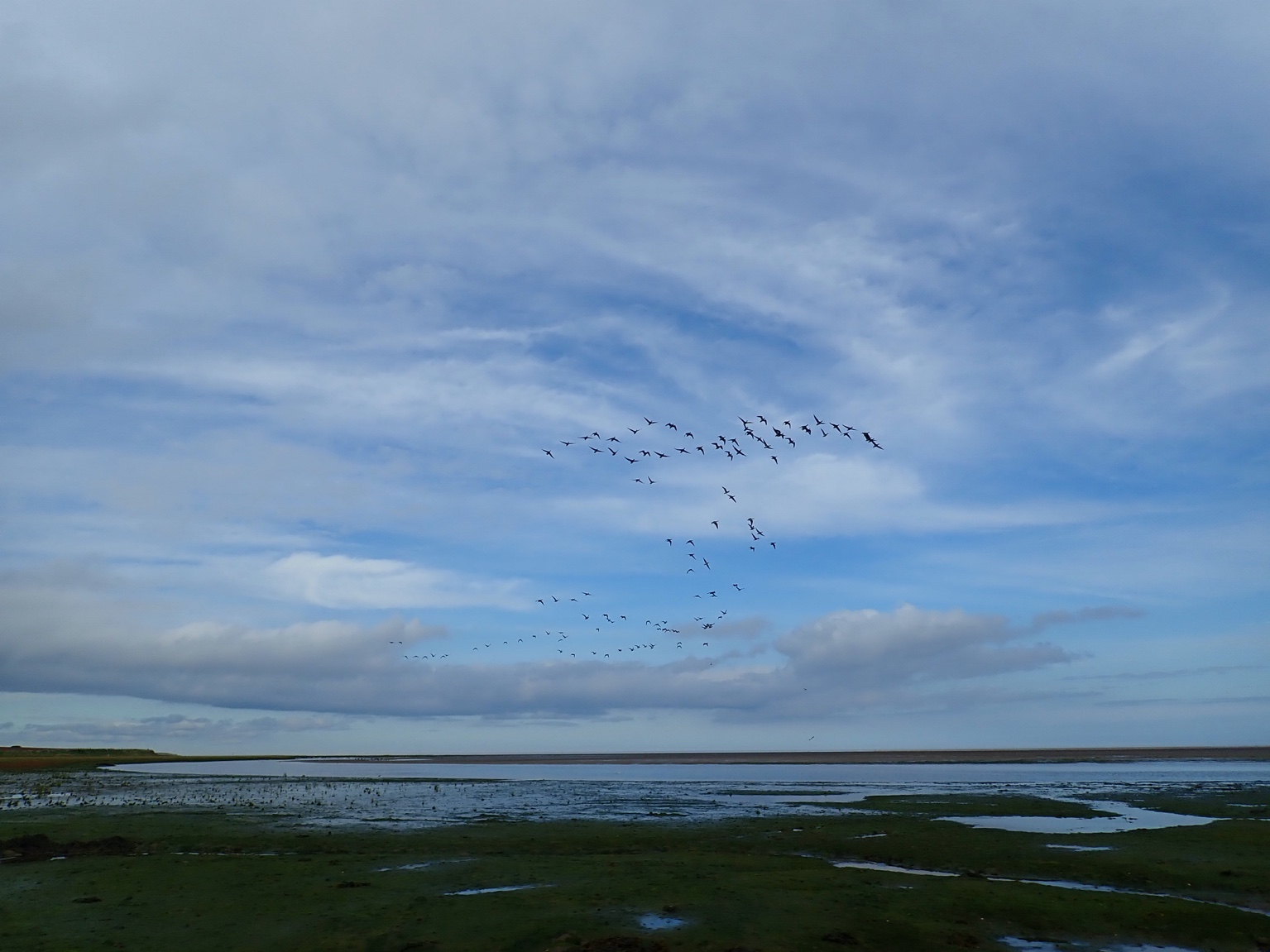
2023, APEM Limited, UK Celtic Sea Area, Airborne LiDAR Survey

2023, APEM Limited, UK Celtic Sea Area, Airborne LiDAR Survey

Powered by: TCE
Don't show this

What is a series page?

Download MEDIN file

Last series update:

October 2026

Collection date:

May 2023 - May 2023

The collection date represents the period of data collection or study duration. For example: '16/04/2015-05/05/2015'

Publication date:

October 2026

The publication date is the date the series was published on the Marine Data Exchange. For example: '23/04/2017'

Published by:

The Crown Estate

Summary

Celtic Sea Power Limited commissioned APEM Limited to undertake an airborne Light Detection and Ranging (LiDAR) survey across the UK Celtic Sea area in May 2023. The survey was designed to support development of a bird flight height index for the Celtic Sea and combined calibrated airborne LiDAR with high-resolution digital still imagery to collect...

Categories:
Birds
Marine Mammals
Categories indicate the area of study or data type the series is associated with. For example, a survey carrying out grab sampling would have the category 'Benthic Ecology', while a desktop study exploring the impact of substation design on bird nesting would have the categories ' Birds, Engineering Design'
Available in this series:
Datasets
1
Reports
1

Deep dive in the data

Choose what you wish to look into:

Dataset

|

Report

|

Other

Survey Data

Survey Data

Survey data associated with the May 2023 Airborne LiDAR Survey undertaken by APEM Limited for Celtic Sea Power Limited across the UK Celtic Sea area. The package contains airborne LiDAR and associated survey outputs, including bird and marine megafauna observations, flight-line data, GPS logs, LiDAR verification data, bird flight-height information, and related GIS files.

Within this package:

Name
File Type
Size
Date

FlightLines S01 May 2023

7 Sep 2026

P11857 Data

7 Sep 2026